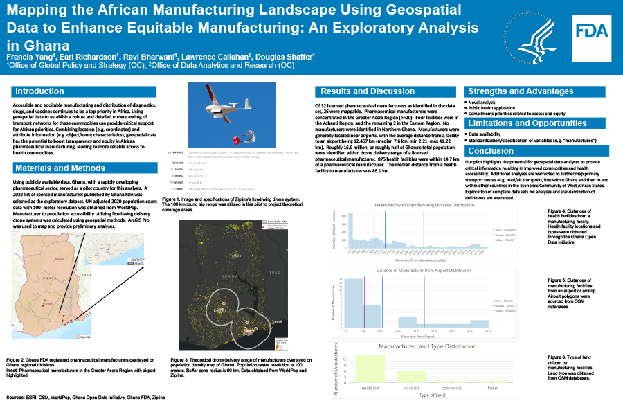
2023 FDA Science Forum
Mapping the African Manufacturing Landscape Using Geospatial Data to Enhance Equitable Manufacturing: An Exploratory Analysis in Ghana
- Authors:
- Center:
-
Contributing OfficeOffice of the Commissioner
Abstract
Background
Accessible and equitable manufacturing and distribution of diagnostics, drugs, and vaccines continues to be a top priority in Africa. Using geospatial data to establish a robust and detailed understanding of transport networks for these commodities can provide critical support for African priorities. Combining location (e.g. coordinates) and attribute information (e.g. object/event characteristics), geospatial data has the potential to boost transparency and equity in African pharmaceutical manufacturing, leading to more reliable access to health commodities.
Purpose
Geospatial analysis to map African pharmaceutical manufacturing and commodities transport networks is a pioneering effort. This analysis explores feasibility and potential future applications of geospatial tools and datasets, focusing on fixed-winged drone delivery systems in Ghana.
Methodology
Using publicly available data, Ghana, with a rapidly developing pharmaceutical sector, served as a pilot country for this analysis. A 2022 list of licensed manufacturers published by Ghana FDA was selected as the exploratory dataset. UN adjusted 2020 population count data with 100- meter resolution was obtained from WorldPop. Manufacturer to population accessibility utilizing fixed-wing delivery drone systems was calculated using geospatial methods. ArcGIS Pro was used to map and provide preliminary analyses.
Results
Of 32 licensed pharmaceutical manufacturers, 26 were mappable. Pharmaceutical manufacturers were concentrated in the Greater Accra Region (n=20). Four facilities were in the Ashanti Region, and the remaining 2 in the Eastern Region. No manufacturers were identified in Northern Ghana. Manufacturers were generally located near airports, with the average distance from a facility to an airport being 12.467 km (median 7.6 km, min 2.21, max 41.22 km). Roughly 16.9 million, or roughly half of Ghana’s total population were identified within drone delivery range of a licensed pharmaceutical manufacturer. 875 health facilities were within 14.7 km of a pharmaceutical manufacturer. The median distance from a health facility to manufacturer was 86.1 km. Conclusion Our pilot highlights the potential for geospatial data analyses to provide critical information resulting in improved health commodity accessibility. Additional analyses are warranted to further map complex transport routes (e.g. road/air transport), first within Ghana and then to and within other countries in the Economic Community of West African States.